Regions
Rock hachures are computed from official LiDAR elevation models and official rock masks. They are currently available for these regions. Relief and contour lines cover the entire Alps.
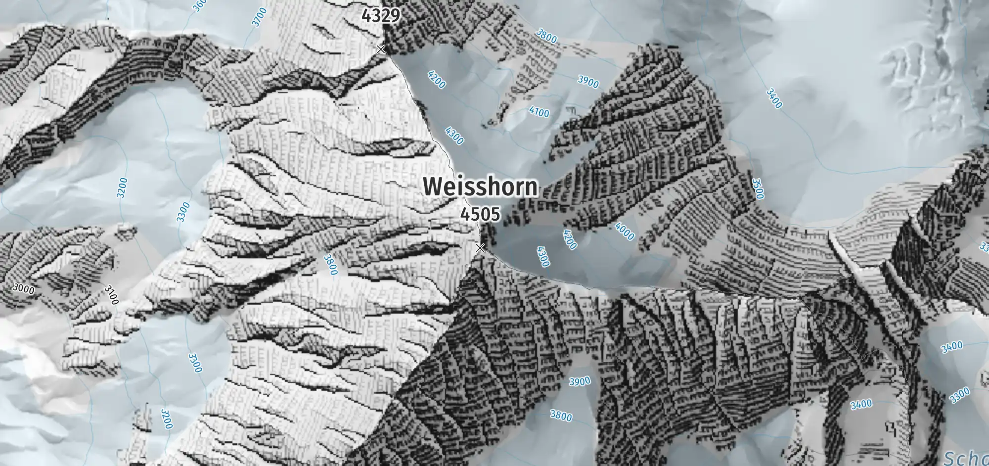
Switzerland Weisshorn
Official rock layer from swissTLM3D.
Source: swisstopo — swissALTI3D + swissTLM3D
Base map: © OpenStreetMap contributors (ODbL)
At the edges of these regions, data of different sources and resolutions meet; the rendering can change there.